Re-post from http://aceadventure.org/
“So far the evidence that we have in the world points to Africa as the Cradle of Humankind.”
George Abungu, Director-General of the National Museums of Kenya.
It is in Africa that the oldest fossils of the early ancestors of humankind have been found, and it is the only continent that shows evidence of humans through the key stages of evolution. source: http://www.bbc.co.uk/worldservice/africa/features/storyofafrica/index_section1.shtml
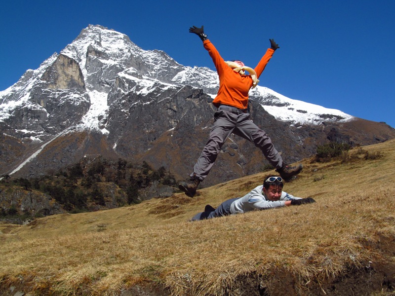
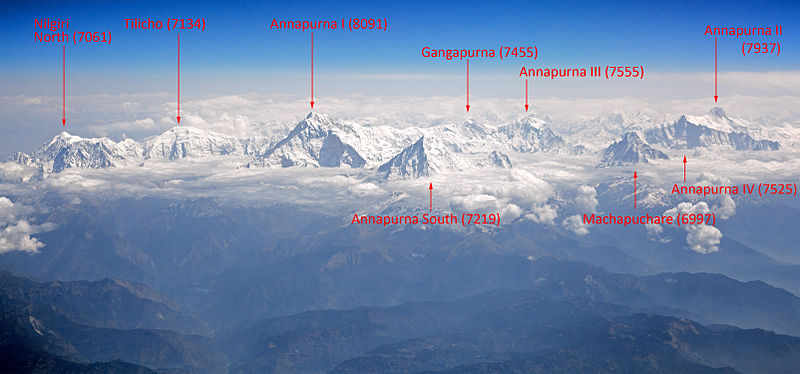
Africa is the world’s second largest continent; the largest continent is Asia. The highest point on Africa is the Uhuru Peak at 5,895m above sea level in Tanzania, also known as Mt Kilimanjaro, and widely acclaimed as the Roof of Africa! Mt Kilimanjaro is a popular peak – it is not only the highest peak in Africa, it is also one of the Seven Summits (the highest peak of each continent). It is with the aim to climb Mt Kilimanjaro that brought me, and five other female trekkers, to Africa. As a first timer visiting Africa, I am intrigued by the fact that I am visiting a continent where human life first began. While the continent is still prone to all ills of humanity, I believe that an open mind will lead me to experience a new Africa.
We flew in to Moshi where Kilimanjaro International Airport (KIA) is located. Before KIA opens more international flights to the world, tourists typically fly to Nairobi (Kenya) and take a 8hrs bus ride to Moshi. It is also possible to fly to Dar es Salaam (the largest city in Tanzania) and take a 7hrs bus ride to Moshi. As flying direct to Moshi is likely to be more expensive, tourists who want to save air flight cost can trade it with a bus ride (though I do not think it is a worthy trade off).

Visit where the locals will visit!
We arrived in Moshi in the early afternoon after 2 transits covering an average of 12hrs flight time. Tanzania is about 5hrs behind Singapore time; 12pm in Tanzania will be about 5pm in Singapore. We spent the remaining day resting in the resort. The next day, we visited Moshi town, about 20mins drive from the resort. The supermarket in town is quite similar to those we have here in Singapore.
You can buy mineral water from the supermarket, it is definitely cheaper than to buy it from the resort where we stay. It is worth to change some Tanzanian Shilling (TZS) to make purchases in a local store. Some shops/restaurants accept US dollars but it will be based on their exchange rate which can be really high.
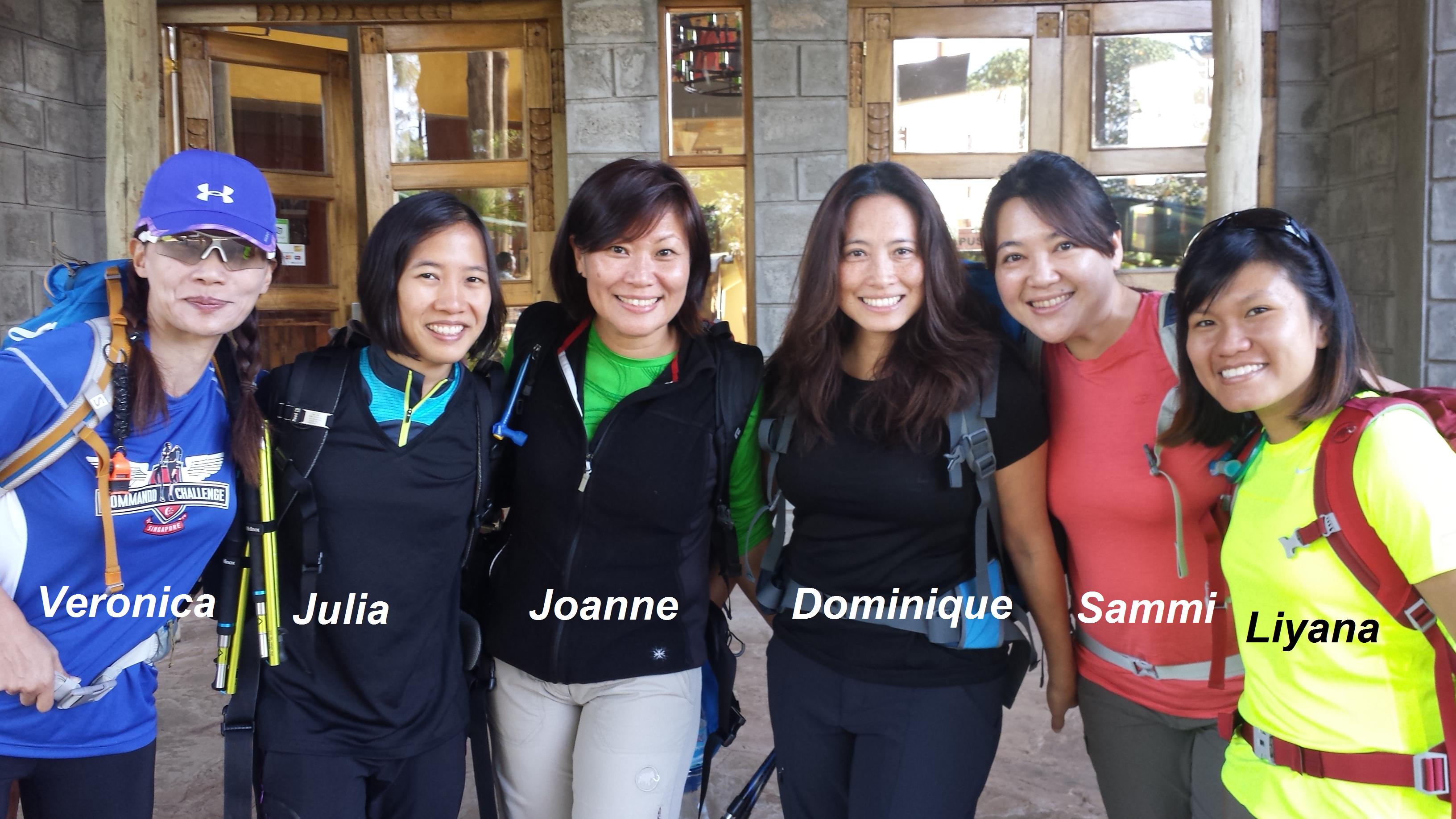
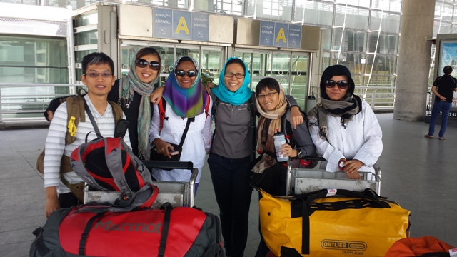
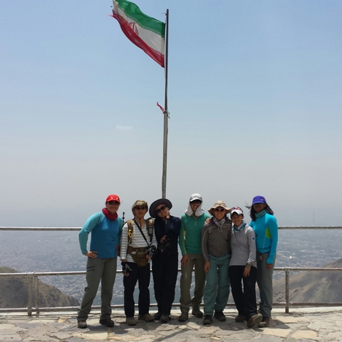
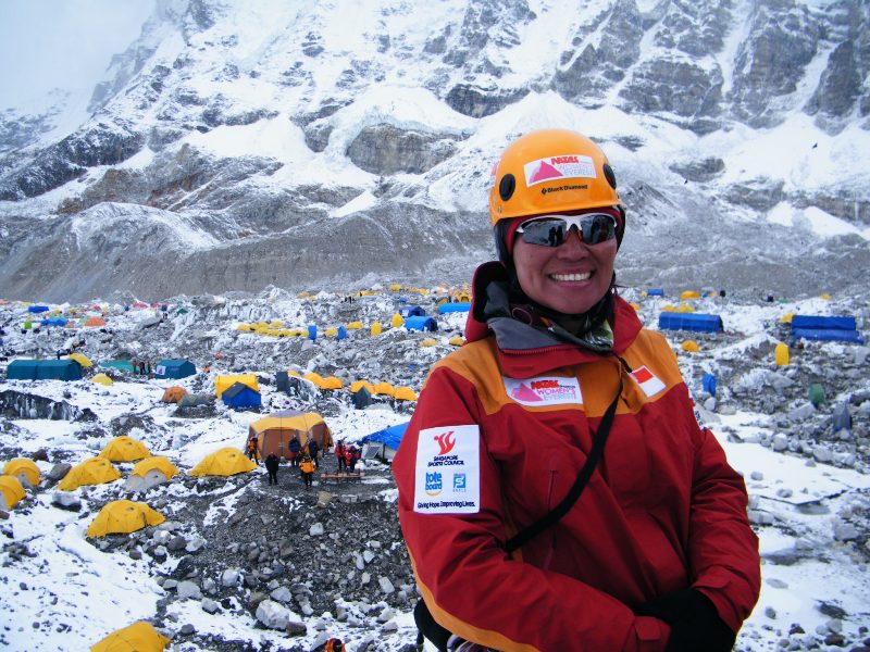
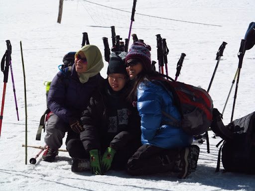
Team members of the IWD Kilimanjaro Challenge
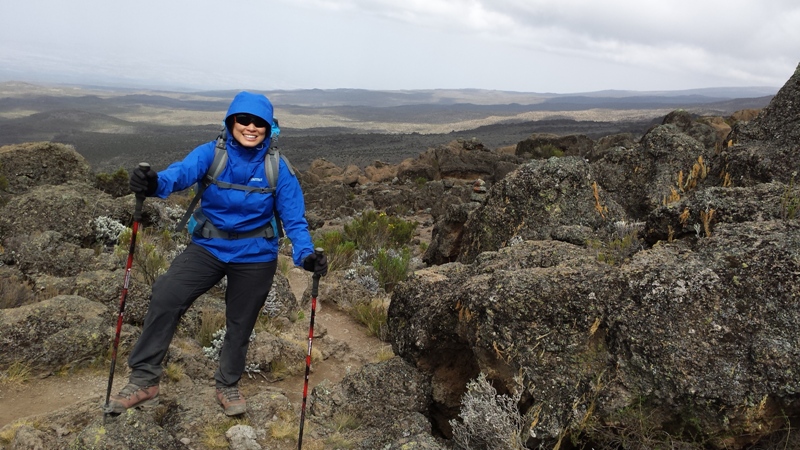
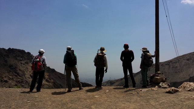
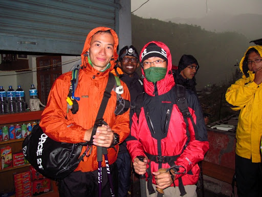
The following day, with much anticipation, we got ready to start our 8-days trek on Mt Kilimanjaro. We have prepared for the trek for almost six months; it was time to face the real challenge. We took the northern circuit which offered excellent views from all sides of the mountain, including the quiet, rarely visited northern slopes; a journey that covered 95km on foot, trekking from an elevation of 2,000m to 5,895m.
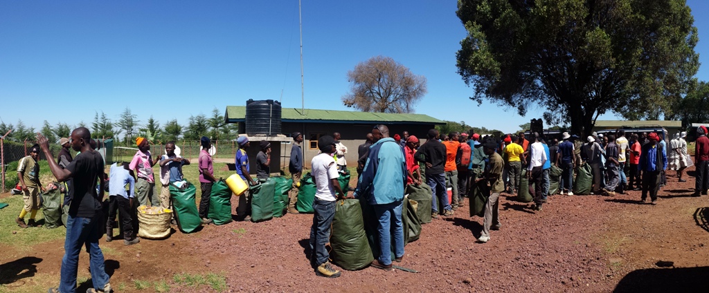
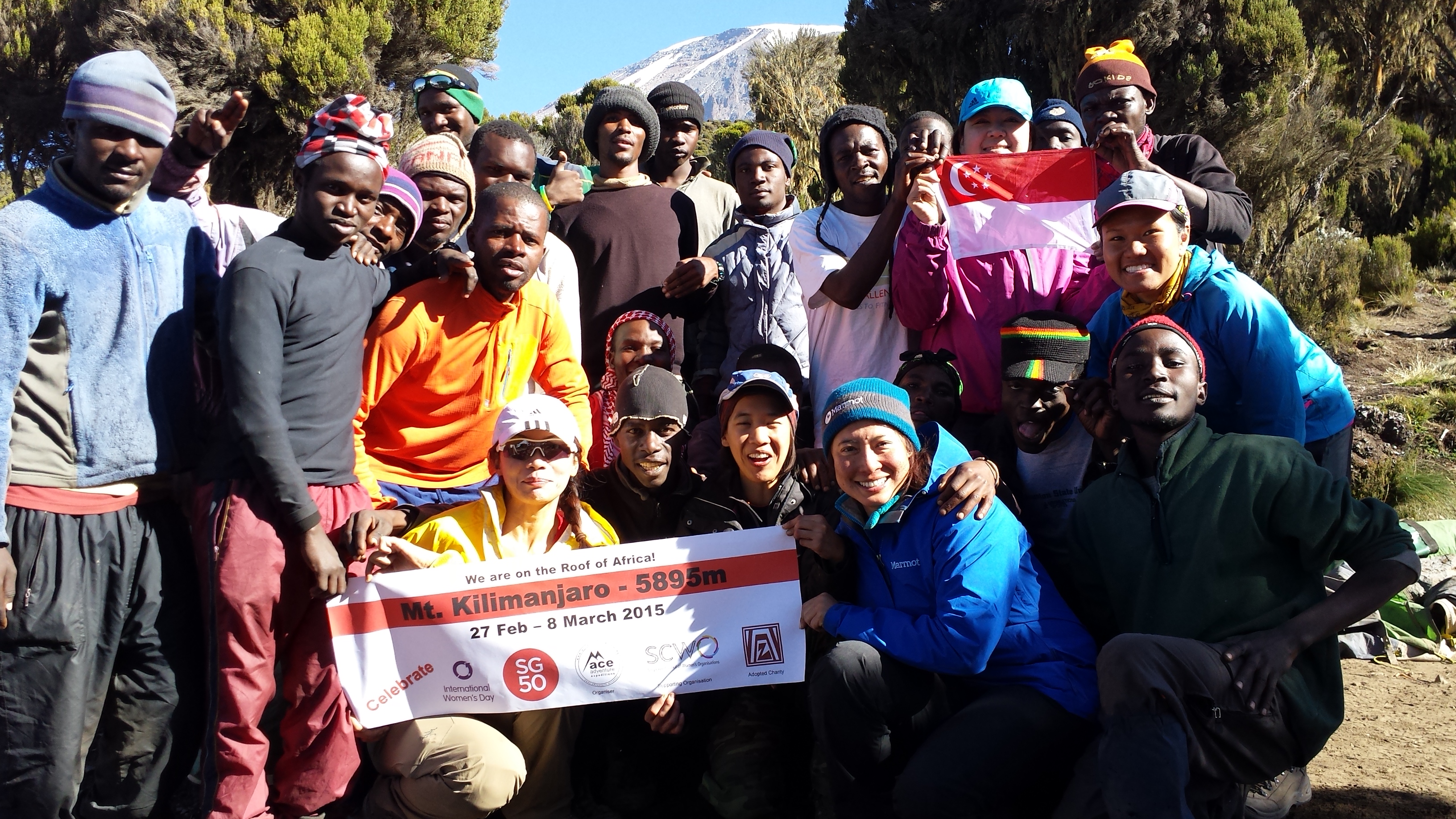
Expedition support crew were getting ready to weigh their expedition loads in an orderly manner
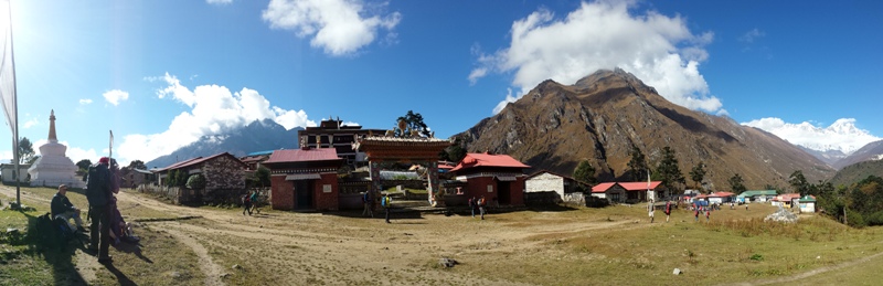
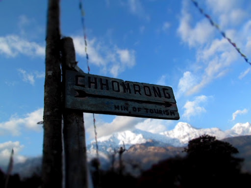
We arrived at the Londorossi Gate (2,250m) by vehicle. This is the place where we saw the support crew of various expedition groups gathered to sort out the logistics and distribution of loads. It was conducted very orderly, and impressively efficient. After another 15mins of drive, we arrived at the Lemosho Gate – we bid good-bye to our vehicle commander and were all ready to embrace the beauty of the African forest and the mythical of Mt Kilimanjaro.
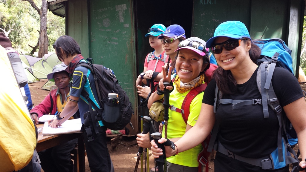
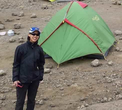
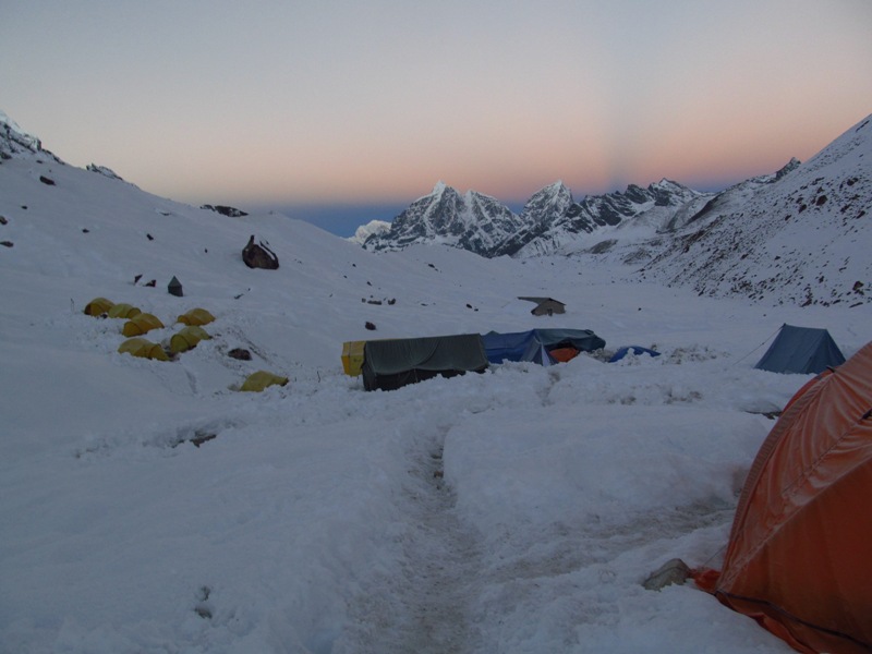
Sign-in at Campsite
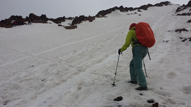
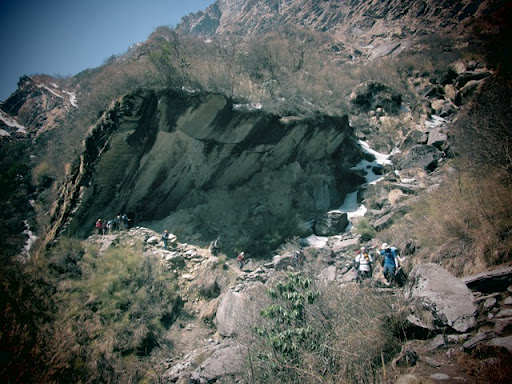
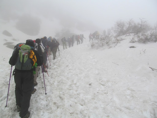
The first day of our trek saw us trekking through the rain forest zone; on the second day, after an hour leaving the campsite, the trail led us to a lower alpine zone trekking in an average elevation of 3,000m above sea level. The slopes were gradual, and hardly any steep ascent.
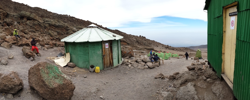
After 3 days of trekking, we arrived at Moir Hut which is at an elevation of 4,200m. It was from here that we felt the thin air taking a toll on our body. We took a short acclimatization hike to 4,370m then return to Moir Hut to rest for the evening.
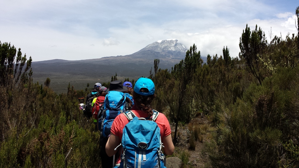
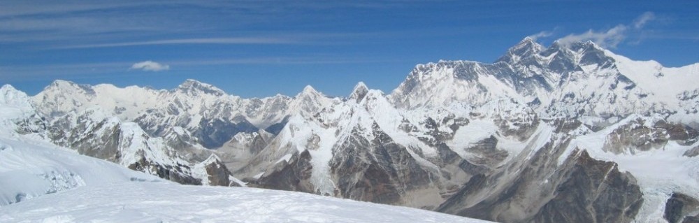
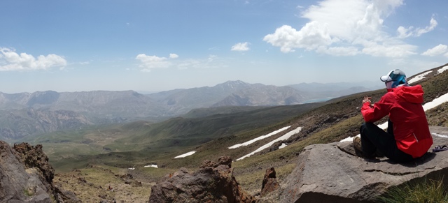
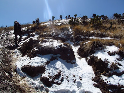
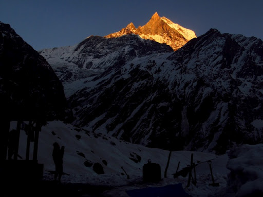
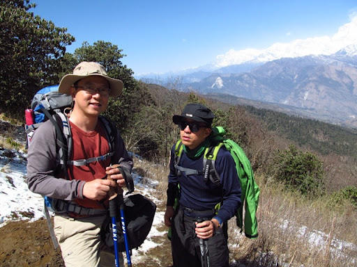
Our first “WOW” moment view of Mt Kilimanjaro from the lower alpine zone
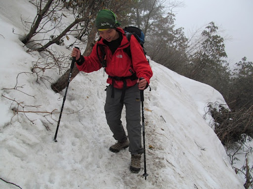
After leaving Moir Hut, we entered the northern circuit camping at Buffalo Camp (4,150m), and then moved on to Third Cave. Third Cave campsite is officially recorded at 3,800m, however, my altimeter read 4,050m. The air remained thin, we were careful not to exert unnecessarily.
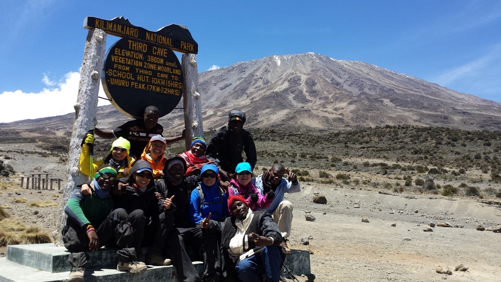
The team arrived at the Third Cave Camp in high spirit
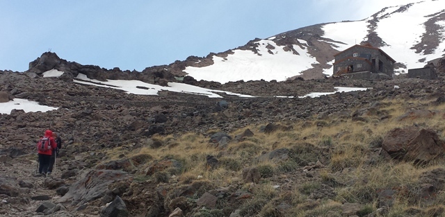
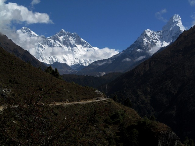
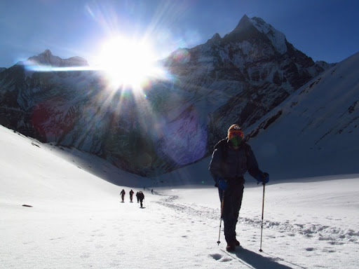
From Third Cave campsite, we trekked another 10km up the moraine slopes to School Hut at 4,800m. We were already experiencing breathlessness as we trek up the incline slopes; by then, we have moved on to a high alpine and glacier zone. We had already spotted Mawenzi Peak, standing proudly from a far distance to the south-east since the day we trekked to Baffalo Camp, it felt closer as we approached School Hut. Mawenzi Peak is the 3rd highest peak in Africa, Mt Kenya (Kenya) is the 2nd highest.

Mawenzi Peak (5149m), the 3rd highest peak in Africa
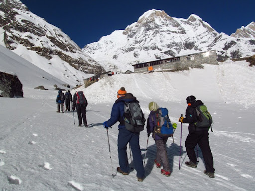
School Hut Camp at 4800m
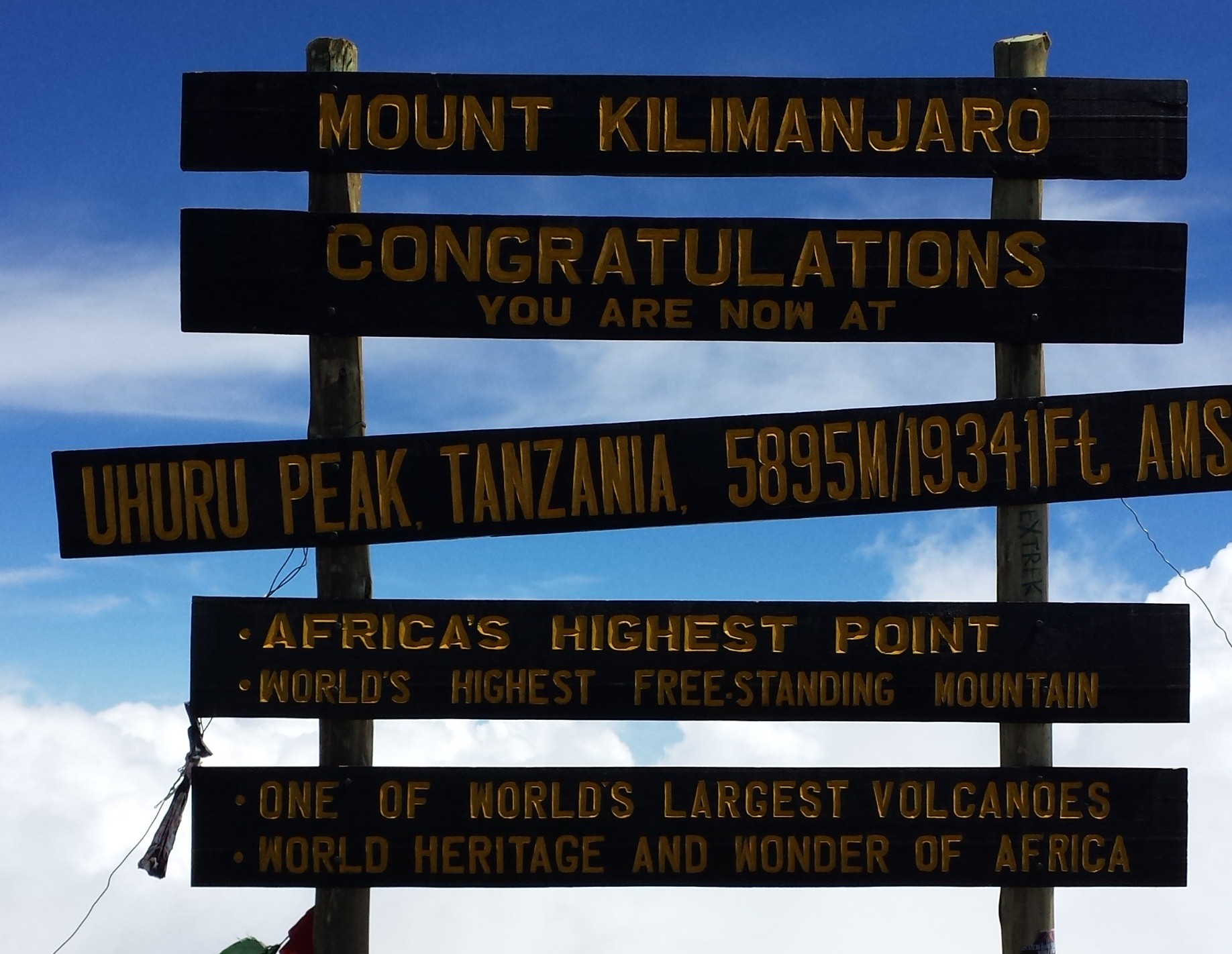
We made our summit climb from the School Hut, leaving at about 12am after a light supper. The first 2 hours was a gradual slope, after about 4-5hrs, the climb became steeper as we approached Gilman’s Point (5,685m). From Gilman’s Point, we trekked along the crater rim that led us to Stella Point (5,756m), and from Stella Point, it would be about an hour to reach the Uhuru Peak.
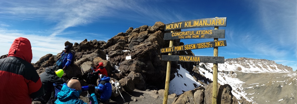
Gilman’s Point at 5,685m

Stella Point at 5,756m
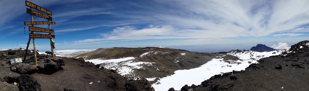
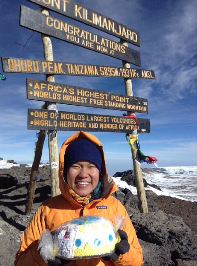
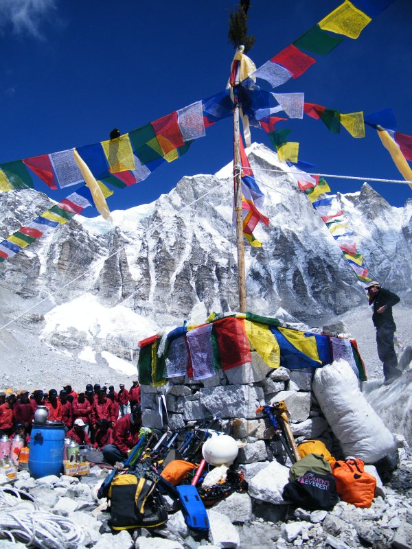
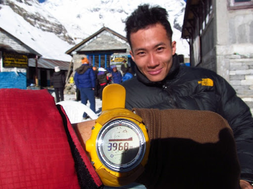
Uhuru Peak – 5,895m (Summit of Mt Kilimanjaro)
After our summit climb, we descent to Millennium Camp to rest. The following day, which was the 8th day of our trek, we descent to Mweka Gate. We ended our 8 days’ climb on Mt Kilimanjaro in high spirit but a tired body. In summary, the trek got tougher each day as we gained elevation and the thin air made breathing difficult on slopes causing each step heavier than the last. It was challenging for everyone, especially so that all the other ladies were climbing beyond 4,000m for the first time.
Apart for the scenic environment around Mt Kilimanjaro, the support crew who supported us the whole time had made our climb memorable and certainly felt like a queen in African style.
Post Climb Thoughts
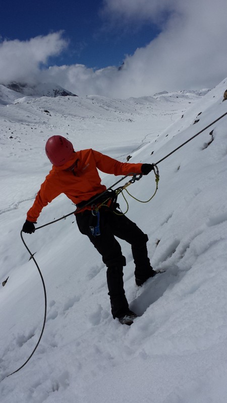
The climb to the summit is not as technically demanding as when climbing the peaks in the Himalayas or Andes; but the high elevation, low temperature, and the occasional high winds make climbing Mt Kilimanjaro a difficult and dangerous attempt. An itinerary cater for acclimatization is essential, even the most experienced trekkers may suffer some degree of altitude sickness. The highest point on Mt Kilimanjaro is at an altitude which may cause water retention in the lungs leading to high altitude pulmonary edema (HAPE), or swelling of the brain – high altitude cerebral edema (HACE). All trekkers will suffer considerable discomfort, typically shortage of breath, hypothermia, and headaches.
On my journey to the top plodding at an elevation between 5,700m and 5,800m – an elevation that is not new to me – my heart was working laboriously. Very often when we focus so much on keeping a pace, we often neglect that we may be pushing ourselves harder than necessary. It strike me that I am not immune to any high altitude risk, I too may be susceptible to a sudden cardiac arrest at high altitude. I began to slow down my pace; giving my heart a break, focusing on exhalation to slow down my heart rate.

Sammi Teh
Sammi who has only been up to 3,200m before climbing Mt Kilimanjaro was hit by altitude sickness that caused her to sink into fatigue earlier than expected. She recounted her thoughts on trekking above 5,000m for the first time. “I felt helpless, confused and kept questioning if there is any limit to the power of ‘mind over body‘ at that elevation; I knew that my body was tired, yet my mind remain determined.”
Liyana Low
The youngest among us is Liyana, and being young did not make her climb any less strenuous. She said “I was tired from the lack of oxygen – every step grew heavier. But each step I took was one step closer to the top, and that was what kept me going. Celebrating my 27th birthday at the top was the icing on the cake!”
Dominique caught flu and had fever the day when we trekked to Buffalo Camp. She managed to recover a little after taking a cocktail of medicines like anti-histamine, Panadol. She weren’t ready to give up yet. She recalled the midnight summit push that we took on a full-moon night “At
5,000m, you feel the biting cold in your bones. Your fingers and toes are numb. Breathing
is difficult, you are drowsy, and your eyes are half-closed. Each step takes a huge effort
Dominique Low
and muscle in your body tells you to stop. Then you hear a voice – one step at a time, if your mind is willing, your body will adapt – I stop to blow my nose, drink more water, take a deep breath then keep on walking.”

Veronica Lim
Talking about cold, Veronica has it all ready to battle it. From thermal base layer to down jacket to goretex outer-shell, she knew exactly how to keep her body warm with the gear she brought with her. That was not all, her mental strength was crucial in helping her to stay focus despite the cold and the seemingly endless ascent in the dark. She said “I told myself to think happy thoughts and keep going.”
Julia Chua
Each of us have different threshold to cold, and Julia is probably the one who has a higher threshold to cold among us. She would stroll around the campsite while most of us stayed in our tents. A highly positive trekker, she shared about her experience on the summit day. “At the beginning, I spent most of the climb looking at the moon. I thanked God for its light, its watchful presence over us. I liked the way it traced the outline of the terrain. As it got higher, music started to play in my head. From songs on the radio i heard a few days ago to the cheers of Swahili that we sang at camps, to which I’m sure i got every word wrong. When we have gone beyond the 5,000m mark, there was silence. No one spoke to each other for a long time. I didn’t know how long it was going to take for us to reach Gilman’s point or even to the summit, and at that point i was afraid to ask. How long are we going to stay on this side of the mountain? And then the sun came up, changing shifts with the moon, painting the rocks with gold. At that moment, a quote popped into my head, like my brain was trying to comfort my body. It goes
“I just want you to know,
That i would like you to stay.
No matter how hard this day gets on this mountain,
It’s okay. It’s okay…”
The Purpose of our climb to the Roof Of Africa
Trekking at high elevation is tough. We are not there to suffer, but to challenge personal limit, and to create an awareness to help the less fortunate. Life is meant to make beautiful and happier. If you wish to help a low-income family teenage girl’s life slightly better, you can help by making a cash donation.
Your donation will help secondary school girls to have proper meals and for transportation. Life skill programmes are conducted to help instill in the teenagers a sense of self-worth and to learn skills such as personal hygiene and financial management.
We are supporting Project Pari in small way – by undertaking a journey to scale Mt Kilimanjaro. Through our climb, we hope to create an awareness to all women, specially Singapore women, to get out of the traditional view that women are fragile physically and psychologically. Women can live our dreams, and we can help others live their dreams too. If you are reading this, do join us to support the efforts of Project Pari.
How to Donate?
Donation can be made online to: “Donate to Programme” , “Ace Adventure IWD Challenge 2015 for Project Pari” at this SGGives website link: https://www.sggives.org/SGGives_P_CharityDetails.aspx…
For more information on Project Pari: www.zonta-singapore.org/service-projects.html
Please send in your donation before 31 March 2015. Asante Sana! (Thank you very much).
And I shall end off with a Swahili phase:
Hakuna Matata!
It means Don’t Worry, Be Happy!


